
Infinite Geo Ariel Solutions (Pvt) Ltd
Aerial Technology Solutions
Infinite Geo Ariel Solutions Pvt Ltd (IGAS) is a leading provider of UAV systems and aerial technology solutions, established to transform various industries through the integration of advanced UAV (Unmanned Aerial Vehicle) systems.

Infinite Geo Ariel Solutions Pvt Ltd (IGAS)
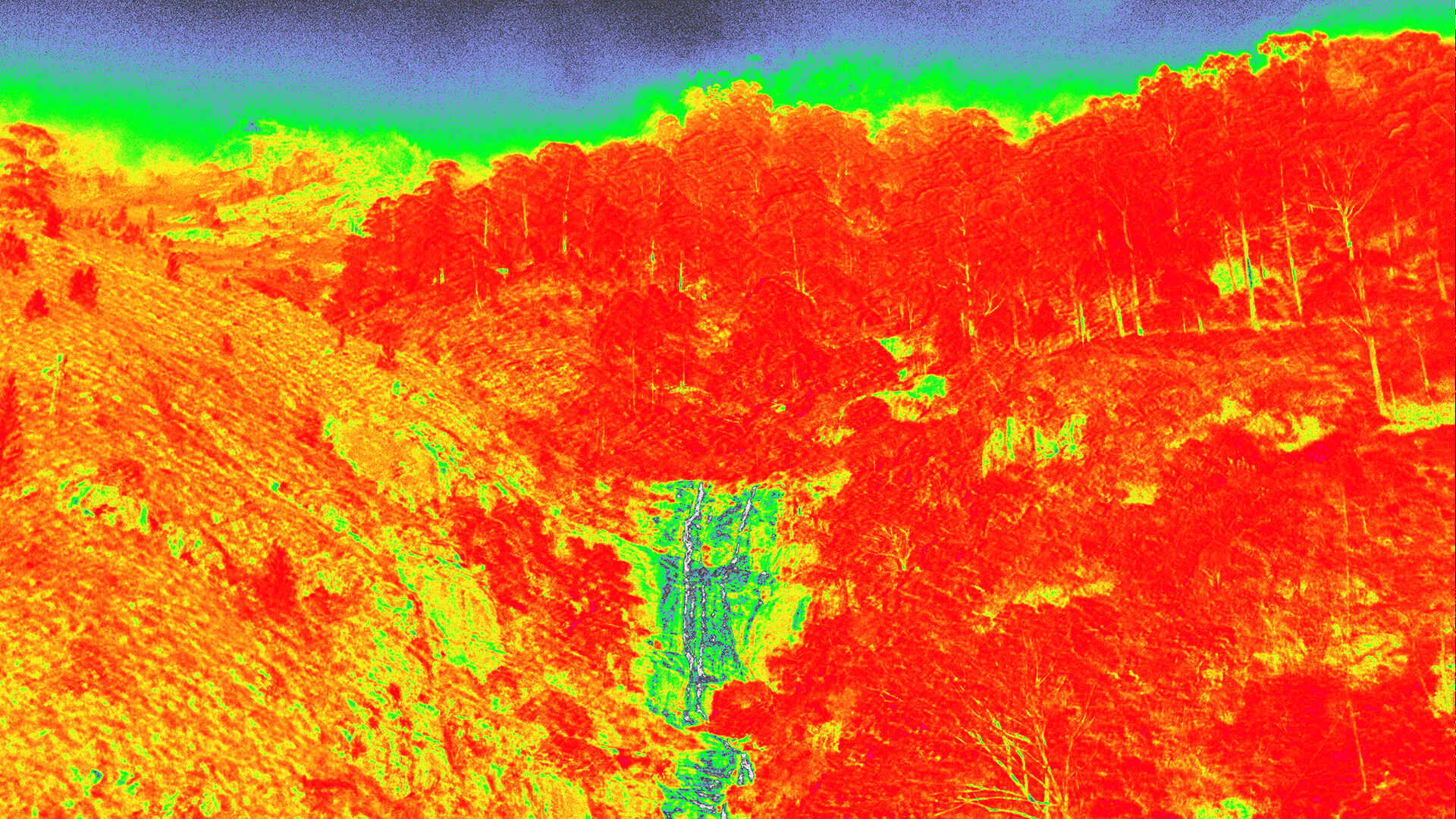
We use the latest in UAV, LiDAR, and GIS technologies to ensure top-tier accuracy and efficiency in every project.
Every business is unique, which is why we deliver customized solutions designed to meet your specific needs—whether it’s aerial surveys, precision agriculture, or comprehensive geospatial analysis.
With years of experience in aviation, geospatial data management, and environmental monitoring, our team has the knowledge and skills to tackle even the most complex challenges.
Our UAV systems collect high-resolution, real-time data and create interactive maps, providing you with valuable insights that can enhance operations and support strategic decision-making.
We offer tailored IT, UAV & Geospatial solutions to enhance efficiency and drive growth for your business.
At Infinite Geo Ariel Solutions, we provide cutting-edge UAV and geospatial solutions tailored to your business needs. From precision land surveys to advanced geospatial analytics, we are here to help transform your operations and maximize efficiency.


© IGAS. All Rights Reserved. Designed by G-Sentry (Pvt) Ltd